The GR5 has St. Gingolph as starting point.
The village is situated at the French-Swiss border, you'll reach
St. Gingolph by train or boat.
From the railway station turn right and cross the border. Follow the
Rue de Gaulle uphill and you will find a
GR5 waymark on a wall. Walk up the lane which is the ancient route to
Novel. You cross the D30 and walk behind the graveyard to Novel. The
GR5 goes along the church and turn left to the road. A path cuts the road
2 times, leading to la Planche. The GR5 goes
left and follows the path through forest and meadow. It climbs uphill
to the Chalets de Neutev, there are 3 huts and
a source.
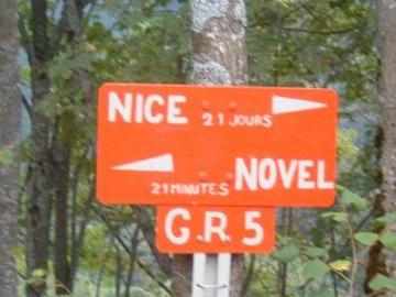
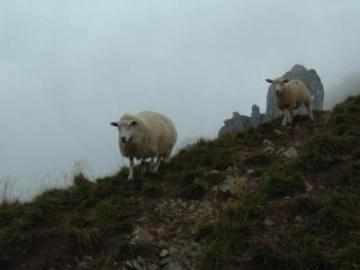
Approx. 500 m later the GR5 makes a sharp left turn and leads to the Col de Bise. Behind the pass the lane leads downwards to the huts. The Refuge de Bise lies in a sheltered place in the valley, it offers overnight accommodations and catering. Behind the hut the path climb up to the Pas de la Bose and leads through meadow downwards to a parking place. At the road go left and follow the path downwards to Chapelle d'Abondance. The GR5 turn left and follow the D22. Behind Le Pantiaz the GR5 make a turn to the right and climbs steeply, passes a waterfall. The path turns left at Sur Bayard and goes to the Col des Mattes. After another Chalet Lenvaley the GR5 leads onto a broad trail direction Col de Bassachaux. The GR5 follows the trail direction SW to Col de Chésery. It crosses the French-Swiss border and leads downwards to the Lac Vert. Here is another hut, the Refuge de Chésery. The GR5 passes round the lake and leads up to Portes de l'hiver. At the pass the lane goes left to a signed junction and makes a turn to the right. The GR5 leads downwards to the valley and follows the road to Poyat. The GR5 leaves the road and climbs steeply to the Col du Coux. It crosses the the French-Swiss border and leads downhill onto a zig-zag path. The path goes through forest and turn left onto a broad way, climbs steeply to the Col de la Golèse (Refuge de la Golèse). The GR5 follows the broad track into the Giffre-Valley. The path goes onto a small road with a car park space to Les Allamands. Behind the huts it cuts the road 3 times. At a reservoir the GR5 makes a turn to the left and follows the Torrent le Clèvieux. Approx. 3km later the river flows in a canal, the GR5 passes Samoëns (Gîte d'étape/Camping, supplies) and goes to the Giffre. It turns left and goes upstream to the Pont Perret and crosses the Giffre. The lane goes uphill, passes Les Faix Chalets and goes to the Gorges des Tines. The Gorges is the original river-bed of the Giffre. Later the GR5 passes Ley Fay (Gîte d'étape) and follows another river direction Collet d'Anterne. The GR5 joins a road and goes uphill to the Cascade de Rouget and to theChalets du Lignon, the end of the road. The lane goes through forest uphill to another waterfall and makes a turn to the left. A stony path leads uphill to the Collet d'Anterne. From the Col a path descends through meadows to the Refuge Alfred Willis (overnight accommodations and catering).
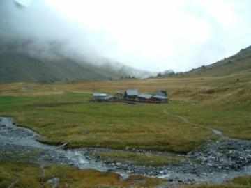
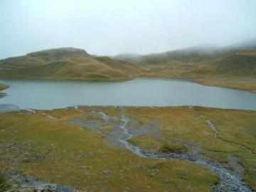
Behind the huts, follow the zig-zag path uphill. After 45min the path leads to the Lac d'Anterne. The lake is a popular destination for day-walkers and has no visible outlet, the water disappears into a limestone fissure. At the end of the lake the GR5 leads uphill to the Col d'Anterne. In clear weather there is a nice panorma of the Mont-Blanc-Massiv. The path descends in zig-zag to the Refuge du Col d'-Anterne (overnight accommodations and catering). The GR5 goes direction southeast, passes the Chalet de Moëde and follows the left bank of the Moëde Torrent downhill.
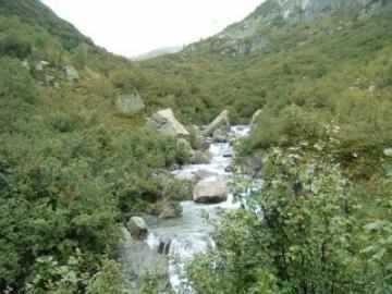

At the Pont d'Arlevé the GR5 turns south and climbs uphill, passes the ruinous Chalets d'Arlevé. After 1km the GR5 leads in zig-zag up to the Col du Brévent. At the Col, the GR5 joins the Tour du Mont Blanc, both trails are leading to the Col de la Croix-du-Bonhomme. The lane descends southern to the Planpraz and downhill to Chamonix.