Urmatt-Schneeberg
I started the trip at Lorsbach/Taunus. The ICE in
Frankfurt was delayed, but at
Karlsruhe, the EC waited. So I reached
Strasbourg punctual, here I sold the ticket
to Urmatt.
At Urmatt I followed the GR53 (red rectangle).
I crossed the village, behind the church, I turned right and followed the
Rue Molsheim. The path desends the slope. It leads
through pastures and forest, it passes Niederhaslach
and Oberhaslach. The GR53 leads alongside the
Hasel-stream. After it passes a camping site, it traverses
the stream and leads 300m on the road. There is a signpost to the
Cascade du Nideck. I followed the small valley,
after 1km I reached the waterfall. At the right side is rocky stairway.
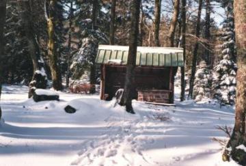
At the top of the rock is a shelter and a ruinous castle, it is a nice
viewpoint. The path descends to the road and passes the
Maison forestière du Nideck. After 100 meter
vertical, the landscape changed, there was a lot of snow. I followed the
rocky path, it crosses two forest roads, beyond the second junction you will
find the waymark blue circle. This path leads to the summit of the
Schneeberg. At the top, the path turns right
and descends. It joins a dirt road, I turned right and followed the forest
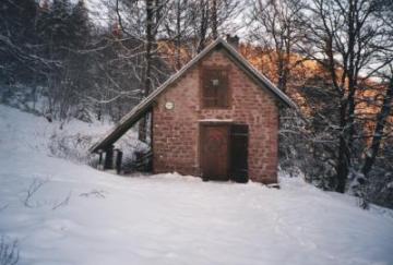
road to the RefugeSchneeberg.
250m behind the hut is a source.


Schneeberg-Rocher de Mutzig-Schneeberg
During the night fell more snow, at the next morning the weather was clear. The sunrise was beautiful, after breakfast I left the hut and went back to the top. At the junction with the forest road, I followed the waymark blue cross. The path leads alongside the slope, after 1/2h I joined the waymark red/white/red. It leads in direction of the Col du Narion. After 500m, the path joins a tarred road, I followed the road, after 1km I passed the car park Elssasblick. The path leads to the top of the Grossmann(no viewpoint) and descends to a junction. I turned left, passed the Col du Narion and a small shelter. I followed the ascending path (the GR53) and I reached 20min later the summit of the Rocher de Mutzig.


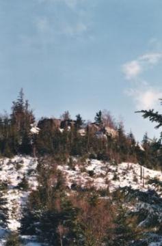
It is a nice viewpoint, you will see the Bruche- valley and the summits of the vosges. Northern the Bruche-valley are only 2 summits over 1000m altidue, the Donon and Rocher de Mutzig. I went the path downwards to the Col du Narion and followed the GR53 in direction of the Col la Barraque Carree. The forest road leads alongside the slope, Afterwards, a small path leads to the Col. At the junction, I left the GR53 and followed the waymark blue cross. It climbs steeply, at the plateau were no trees, so I have another nice view. The path descends to the Maison forestière de Grossmann and leads in direction of the car park Elssasblick. Here I went back the wellknown route to the Refuge Schneeberg.
Schneeberg-Molsheim
Beyond the Refuge, a path descends, it is marked with a red cross. It traverses a tarred road and leads in direction of the Grossbreitberg. Here I followed the waymark yellow cross and yellow triangle. At the Croix de Saverne, I turned left and went in direction of the Maison forestière Entenpfuhl. The waymark blue circle leads in direction Still and Mutzig. The path leads through fields and passes a military camp. I went to Molsheim, because there are more trains to Strasbourg